
County offers ominous warning of 20 inches of rain with Dorian
States of Emergency declared throughout Clay County
CLAY COUNTY – Acting for Deputy Incident Commander of Clay County Emergency Management Center John Ward offered an ominous warning Thursday afternoon by saying current storm models show the county …
This item is available in full to subscribers.
Attention subscribers
To continue reading, you will need to either log in to your subscriber account, or purchase a new subscription.
If you are a current print subscriber, you can set up a free website account and connect your subscription to it by clicking here.
If you are a digital subscriber with an active, online-only subscription then you already have an account here. Just reset your password if you've not yet logged in to your account on this new site.
Otherwise, click here to view your options for subscribing.
Please log in to continueDon't have an ID?Print subscribersIf you're a print subscriber, but do not yet have an online account, click here to create one. Non-subscribersClick here to see your options for subscribing. Single day passYou also have the option of purchasing 24 hours of access, for $1.00. Click here to purchase a single day pass. |
County offers ominous warning of 20 inches of rain with Dorian
States of Emergency declared throughout Clay County

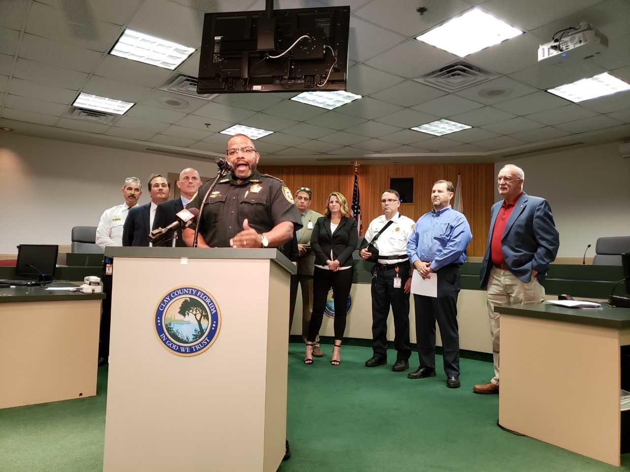


CLAY COUNTY – Acting for Deputy Incident Commander of Clay County Emergency Management Center John Ward offered an ominous warning Thursday afternoon by saying current storm models for Hurricane Dorian show the county could get as much as 20 inches of rain from Hurricane Dorian.
County officials gathered Thursday in the Board of County Commissioners meeting chambers to declare a state of emergency. All facets of county emergency management services, including the sheriff’s office and the school district and Clay Electric were present to share information specific to their parts of the county.
“There is a northerly track to this storm that is potentially going to put this storm as a low pressure system over the northeast Florida area and could potentially stall this system over our area,” Ward said. “We’re working with our partners at the National Hurricane Center and National Weather Services and we could be looking at upwards of 20-plus inches of rain over our area in the next week.”
Ward said that all residents should pay close attention to county channels to keep track of weather updates and potential calls for evacuation in some areas. He also said that those who live along Black Creek should prepare for flooding in the next week.
Keystone Heights and Green Cove Springs also declared states of emergency Thursday.
Clay Today’s web site and Facebook page also will be posting updates.
Sheriff Darryl Daniels said some inmates will be filling sandbags for residents who might need them to prevent water from spreading to critical areas. Daniels also expressed the importance of following county-issued commands.
“We learned some lessons with Irma, especially with Black Creek flooding,” Daniels said. “If you end up being asked to evacuate, it’s probably a good idea that you do so because a lot of the time we spent dealing with post-Irma issues were as a result of folks who were asked to leave and did not and we had to rescue those folks.”
Ward said the county is considering opening shelters Sunday. If the county activates shelters, Superintendent Addison Davis said as many as five schools could be opened.
Schools are closed on Monday for Labor Day. Davis said the district will decide by Monday if classes will be canceled for Tuesday as Dorian draws closer.
“For those of you that live in Florida and have lived through a hurricane, you know that this could be a matter of life or death so we want to make sure that what you hear here today, hopefully you will implement,” county commissioner Gayward Hendry said. “We hope to come out of this standing tall, being proud and saying we’ve done our part not only as county government but as citizens of Clay County.”
County Manager Howard Wanamaker said residents can subscribe to up-to-date information and real-time notifications for weather alerts in Clay County by going to alert.claycountygov.com.
![]()
get social